« Rhine Parc » trail
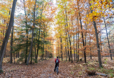
The 94-kilometre cycle route linking Alsace and Baden allows you to discover the region's magnificent landscapes and picturesque villages by bike. Bordered by the Vosges mountains to the west and the Black Forest to the east, the route winds through the magnificent landscapes of the Rhine valley and the alluvial plain of the PAMINA Rhine Park. Numerous natural, cultural and culinary attractions invite you to stroll and relax. The entire cycle route is signposted in both directions and is largely paved. Along the route, you'll find restaurants and accommodation in almost every town. For further information, please contact the information offices and tourist information points in your town or village. You can cross the Rhine to the other side via the Beinheim bridge or the "Drusus" ferry between Drusenheim and Rheinmünster/Greffern. A new map of the route has just been published. It is available free of charge in paper format from most tourist offices along the route. This 1:60,000 scale map contains all the practical information for cyclists, including addresses of tourist offices and major sites to visit along the route.
Gallery