Légende
Bicycle paths
On-road cycle lanes
Shared circulation
Road
Cycle trails / Local circular cycle trails -50 km
BL683 - At the foot of Mount Sainte-Odile
Distance
31,5 km
Difficulty
Occasional practice
Elevation
215 m
Duration
Half-day
Zone géographique
Vélo Colmar et centre Alsaceet nord
Meilleure période
Spring
Summer
Fall
Profil Altimétrique

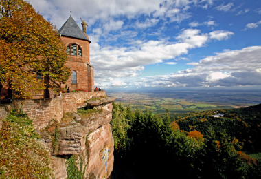
After the vast fields of cabbages, come the picturesque villages along the Wine Route followed by majestic Mont Sainte-Odile convent. Many cultural stops are dotted along the way with countless sign-posted rambling trails.
Gallery