Légende
Bicycle paths
On-road cycle lanes
Shared circulation
Road
Cycle trails / Cross-border routes
Three countries bike path
Distance
210 km
Difficulty
Regular practice
Elevation
1234 m
Duration
4 days / 3 nights
Zone géographique
Vélo Mulhouse et sud Alsace
Meilleure période
Spring
Summer
Fall
Profil Altimétrique

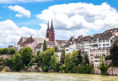
International route of 193 km (including 45 km in the Sundgau region), created in 1996, offering a loop through France, Switzerland and Germany on either side of the Rhine. It links the towns of Mulhouse, Basel, Rheinfelden and Neuenburg. The route is well-marked and largely on safe roads. More Infos
Gallery