Légende
Bicycle paths
On-road cycle lanes
Shared circulation
Road
Cycle trails / Waterways and vineyard cycle routes
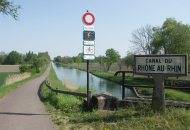
Canal du Rhône au Rhin cycle route (Northern branch)
Distance
55 km
Difficulty
Occasional practice
Elevation
41 m
Duration
All day
Departure town
Artzenheim
Arrival town
Strasbourg
Zone géographique
Vélo Strasbourg et nord
Vélo Colmar et centre Alsaceet nord
Meilleure période
Spring
Summer
Fall
Profil Altimétrique

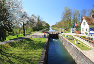
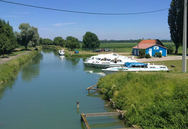
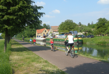
This section of the Rhine-Rhône Canal is navigable for 38 km from Strasbourg to Rhinau. For cyclists, the towpath leads beyond this point through the Ried plain to Artzenheim. It leads through changing landscapes with meadows, groves and fields and offers beautiful views of the Vosges and the Black Forest. The centuries-old plane trees and their foliage protect the cyclists from the heat of the Alsatian sun.
Gallery